27 July 2026 - Recreation
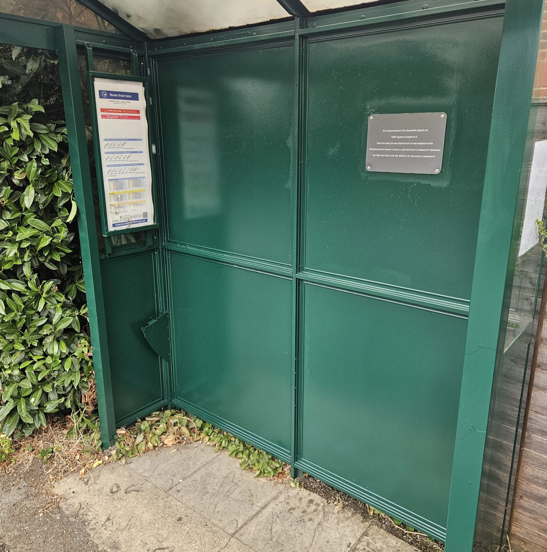
💚Another bus shelter given a new lease of life!
The Marlow Road bus shelter has now received its final coat of paint by the parish polishers and we thought it was only fair that the New Road bus shelter wasn't left out too!

Stokenchurch is a historic Chiltern village set within protected countryside of farmland and ancient woodland, much of it designated as Green Belt or part of the Chilterns Area of Outstanding Natural Beauty. At around 700 feet above sea level, it is one of the highest villages on the Chiltern Way and lies close to the Aston Rowant National Nature Reserve.

(Limited hours between 9.00am to 5.00pm, Monday to Friday)
Longburrow Hall ,
Park Lane,
Stokenchurch,
Buckinghamshire,
HP14 3TQ
The Marlow Road bus shelter has now received its final coat of paint by the parish polishers and we thought it was only fair that the New Road bus shelter wasn't left out too!

Back in May, Stokenchurch Parish Council purchased a brand-new cooker for the kitchen at Longburrow Hall to improve the facilities available for our community. We would like to say a sincere thank you to ShortCircuit Electricians, a local business

It was wonderful to visit one of the many groups helping create poppies for our Remembrance Day Cascade. The Stokenchurch Community Library Craft Group has been busy knitting, crocheting and making beautiful felt poppies, and we'd like to say a huge thank you for their support.
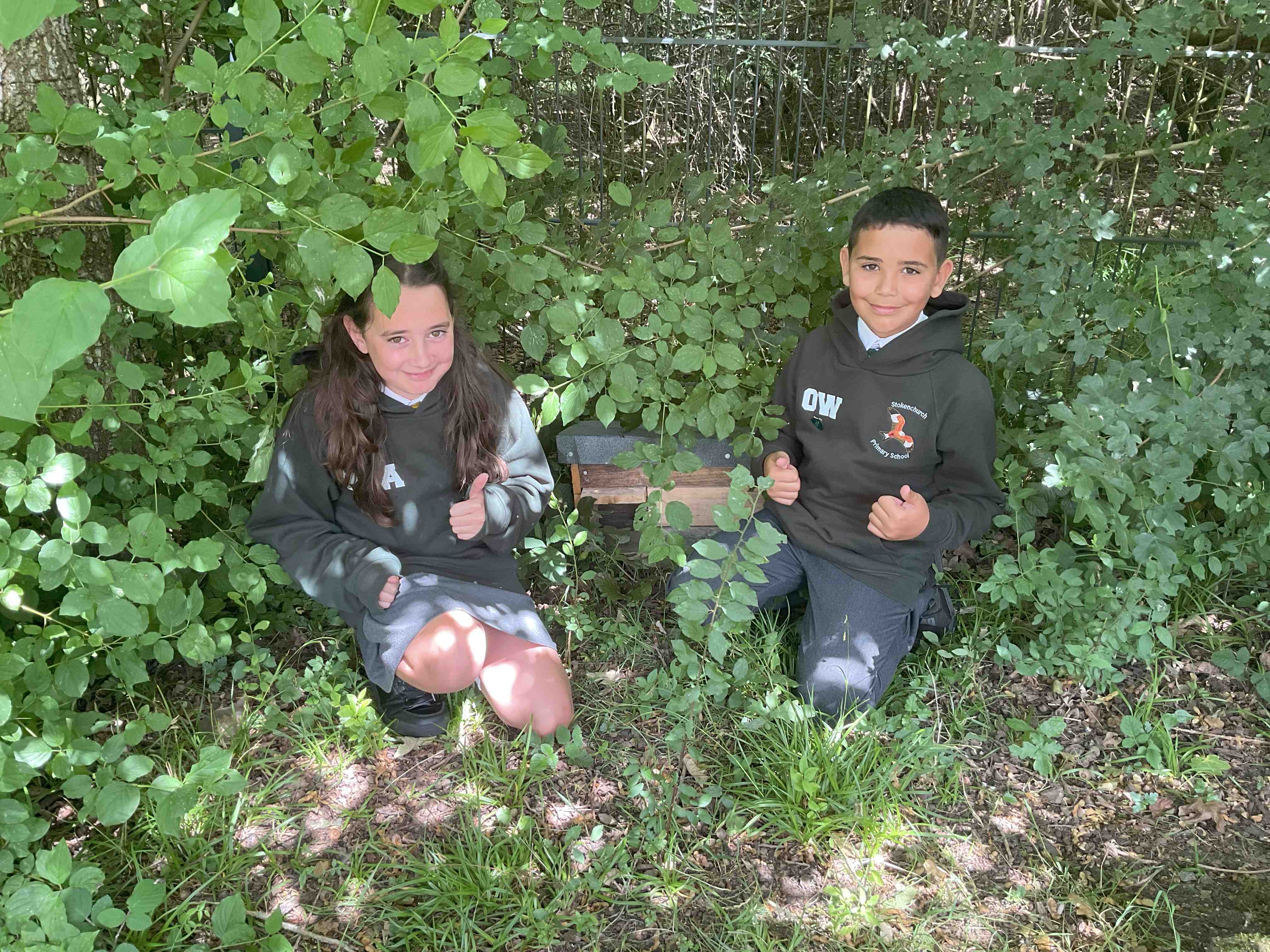
We're delighted to announce that all of our Hedgehog houses have now been successfully installed across Stokenchurch! 🦔
For further information on our Allotments.
Book our Village Hall (Longburrow Hall)
Link to view or comment on local planning applications
For further information on future Parish Council meetings.
For further information on our Cemeteries.
Submit street lighting and defective road surfaces, i.e. potholes to Buckinghamshire Council
Find documents published by the council, including data policies, statutory documents and more.
Essential emergency services information and instructions
The opportunity to remember loved ones through the installation of memorial benches and the planting of trees within the parish.
See the most recent full council meetings including agendas, minutes and supporting documents
Discover the services that we provide to residents, as well as signposting to local groups, societies and local events.
Find out what is handled by Buckinghamshire Council and what is managed by Stokenchurch Parish Council.
Discover more about the history of Stokenchurch and its Parishioners.